The Secret of the Old Mill
A few years ago my dad gave me a replica of the 1869 Beers map of Grafton. I’ve had it framed on my wall ever since. It’s nice to see the familiar names of old Grafton (the Culvers, Fishers, Whitcombs, Wrights), many of whose descendants live there today.
It’s also nice to see Grafton near its demographic and industrial peak– soapstone quarries in full production, saw mills on the Saxtons River and many school houses spread across town. There’s also an inset of Cambridgeport:
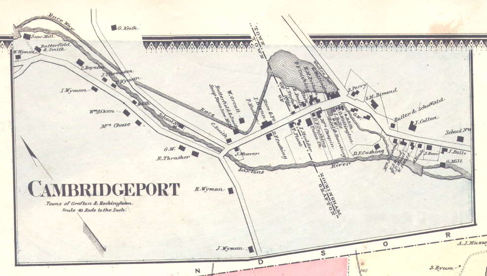 Image courtesy of old-maps.com
I didn’t pay very much attention to this at first, other than to pick out the familiar names of elementary school classmates (Aikens, Wymans). After all, not much has changed in these villages in the last 150 years.
Looking at the map a little closer, however, I noticed that part of the Saxtons River had been diverted to power the mill at the corner of Route 121 and Cambridgeport Rd. I’d always wondered how that mill generated power, given the small trickle of water that runs through it today. Of the hundreds of abandoned mills across the state, almost all have a healthy brook flowing through them. Looking at this map, it started to make sense.
What didn’t make sense, however, was the length of the race way to bring water to this mill. I georeferenced this map and measured– it’s almost 3/4 of a mile long. Why would someone build a mill if it required digging a long trench to bring it water? And is there any trace of this proto-canal visible today?
Luckily, VCGI has a LiDAR image service perfect for this type of investigation. Dave Allen of old-maps.com was happy to provide a high-res scan of the image, and I quickly got to work, georeferencing the historic map and comparing it to the image service. Here’s a comparison of the historic map to today’s LiDAR hillshade:
https://www.mappingvermont.org/projects/cambridgeport-mill-analysis/
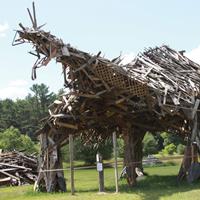
Looking at the LiDAR data, I can’t find much evidence for the old race way. The usual stone walls are visible, but no sign of a trench that follows what appears on the map. This spooky skull-like formation was the closest I found to any irregularity. I’d like to investigate this further, particularly the area where the canal begins near the saw mill. If I discover anything, you can find it here on MappingVermont!